
The Diocese of Keningau is located in the "Land Below the Wind" - north of Borneo Island - in the state of Sabah. When it became a diocese in 1993 it covered the interior division of Sabah comprising the towns of Beaufort, Keningau, Tambunan, Tenom, Kuala Penyu, Membakut, Sipitang, Sook and Kemabong. It is the oldest and largest district in the interior part of Sabah. It consists of 43 subdistricts and 245 villages.
Nearly 90 percent of the population in Keningau are Dusuns and Muruts, eight percent are Chinese and other indigenous locals.
Keningau town is connected by road through the Kimanis/Papar and Tambunan Roads from Kota Kinabalu, which is about 138 kilometers in length. Keningau is 67 kilometers from Nabawan, 35 kilometers from Sook and 48 kilometers from Tenom. There is also an abandoned airport.
The last flight to Keningau by Malaysia Airlines was in the 1970s.
Bahasa Melayu is the official language and is the medium of instruction in school but other languages, such as Chinese, Dusun, English and Murut are also widely spoken and used in commerce.
The name Keningau is derived from the Javanese cinnamon tree (Cinnamomun burmannii) which is abundant in the area. The tree is also known as "Kayu Manis" in Malay and it has also been referred to as the 'king of spice.' The bark of this tree was collected by the British North Borneo Company to be sold as spice.
Keningau used to be one of the most important administrative centres of the British in the early 1900s. The Japanese also made use of Keningau was one of its government centres during their occupation of Sabah in World War II.
The village of Nuntunan in Apin-Apin was known as "44" during British rule. This indicated its distance of 44 miles (71 kilometers) from Tenom, another British administration centre. Nuntunun was also known as "Office" because the British had its office by the Sg Apin-Apin riverbank which was later taken over by the Japanese. When the British returned after the surrender of the Japanese, the remaining Japanese soldiers surrendered at Nuntunan.
Keningau has a tropical climate with seasonal variations. The north-east monsoon lasts from November to April and the south west monsoon, from May to October. Annual mean temperature ranges from 24 degrees Celsius to 32 degrees Celsius while rainfall averages at about 2,500 mm per annum. Mean relative humidity is about 74.2 percent.
The Keningau district has an area of 3,532 square kilometers (1,364 sq mi) and is situated in a valley surrounded by the Crocker Range to the west and the Trus Madi Range to the east and south.
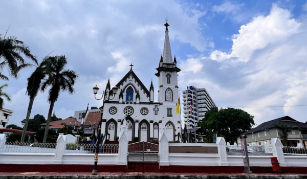
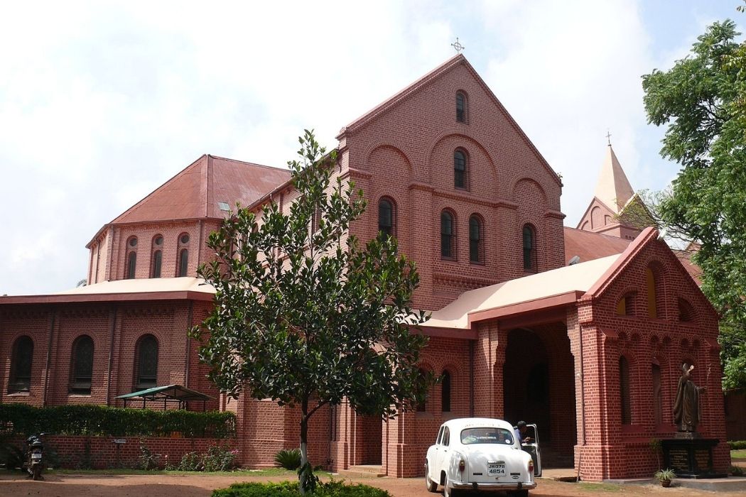
Islam is the official religion in Malaysia but the nation's constitution guarantees freedom of worship. The other religions found in the district are Christianity, Buddhism, Taoism, Hinduism and Animism.